Welcome!
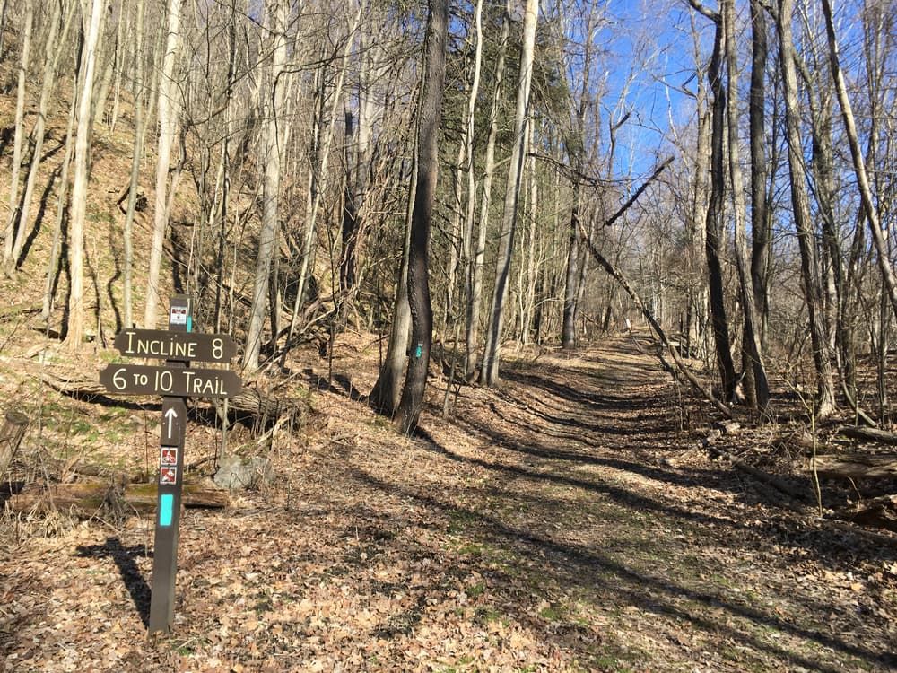
The 6 to 10 rail trail is a testament to the ingenuity and creative problem-solving of Pennyslvanians. This multi-use route follows the path of the Allegheny Portage Railroad, which was constructed to overcome a major obstacle: the Allegheny Front. For years, these western Pennsylvanian mountains had made trade between Harrisburg and Pittsburgh difficult, and that became especially obvious upon the construction of the Main Line Canal beginning in 1826. With no other way to get canal boats across the Front, engineers designed a complex system of ten inclined planes, which used steam power to carry boats over the mountains–the 6 to 10 trail is so named because it stretches between the locations of the 6th and 10th inclines. In between these ramps, hard-working mules and early locomotives carried the boats over level stretches. Combined, this intricate process made intrastate commerce exponentially more efficient throughout the 1830s, 40s, and 50s. The 6 to 10 trail pays homage to the success of the Allegheny Portage.
Aside from its history of creative engineering, the 6 to 10 trail is also a unique rail trail because half of its length is hiking-only: the northern 6 miles of the route are unimproved dirt-track and only available to foot traffic. For a downhill adventure, hikers should begin their trek at the northern terminus in Duncansville. While you’re there, take time to appreciate the National Historic Site honoring the railroad; it includes restored versions of many of the machines used by the Allegheny Portage, plus an 1840s tavern called the Lemon House. From the Historic Site, you’ll head southeast down a hill that can be quite technical–watch your footing. Along these first 6 miles, there are a number of opportunities to detour off-trail and check out railroad remnants; they can also add some mileage to give you a slightly longer journey.
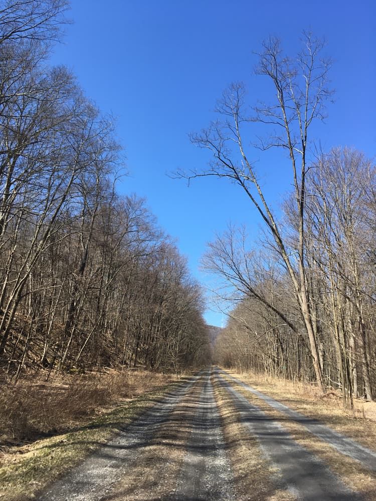
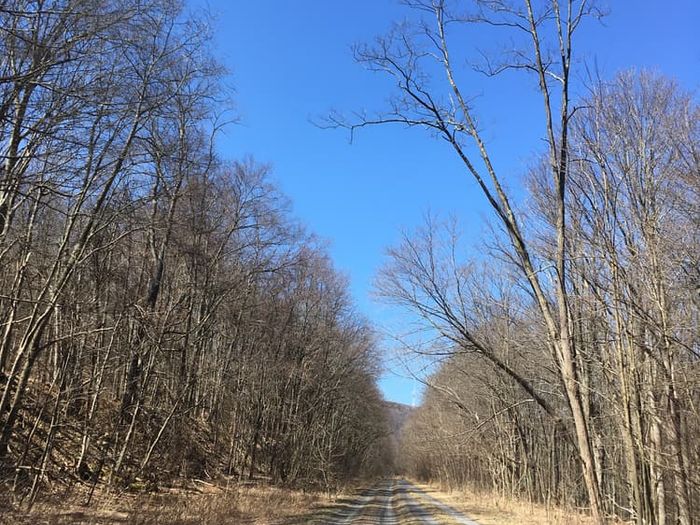
Eventually, you’ll come to the Muleshoe trailhead, the halfway point of the trail. From here, the remaining 4 miles are composed of a smoother, crushed stone terrain that permits bicycling. As you walk or bike, keep an eye out for classic Pennsylvania wildlife: white-tailed deer, wild turkeys, chipmunks, and other favorites. Also along this stretch is an additional hiking-only detour of 1.2 miles. The detour gives you a tour of three abandoned railroad culverts–one of which is also visible from the trail itself–before looping back onto the main path. Finally, you’ll end your descent at Foot of Ten, so named because it sits at the foot of the 10th incline. It’s also the site of an extra 1.6-mile loop that could make a great cool-down spot. By the time you reach this point, you’ll have completed nearly 600 feet of elevation change.
Hours: The trail remains open from sunrise to sunset. The buildings at the National Historic Site are open from 9 a.m. to 5 p.m., weekends-only during the winter and daily during the rest of the year.
Hunting: Parts of the trail are bordered on either side by State Game Lands, so visitors should wear orange for visibility during hunting seasons. Visit the PA Game Commission Website for more information on hunting seasons.
Accessibility: Though most of the bike-permitted sections are also wheelchair accessible, be aware that the Valley Forge Road crossing (near Foot of Ten) is not due to steepness.
This trail is managed by the National Park Service. For more information, visit the NPS Website. Contact the National Park Service at keith_newlin@nps.gov.
Visitor Center (northern terminus): From Cresson, take Admiral Peary Highway east for 1.4 miles. Turn left and merge onto US-22 East, then continue for 1 mile. Take the Gallitzin exit and turn right onto Tunnelhill Street, then continue for 0.6 mile to the visitor center.
Foot of Ten (southern terminus): From Duncansville, take Old Route 22 west for 0.2 mile. Turn left onto Foot of Ten Road and continue for 0.5 mile. Turn left onto Mill Road and continue for 0.3 mile. Turn right onto Dry Run Road and continue for 0.6 mile. The trailhead will be on the right.