Welcome!
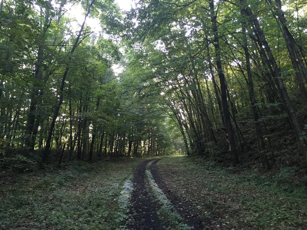
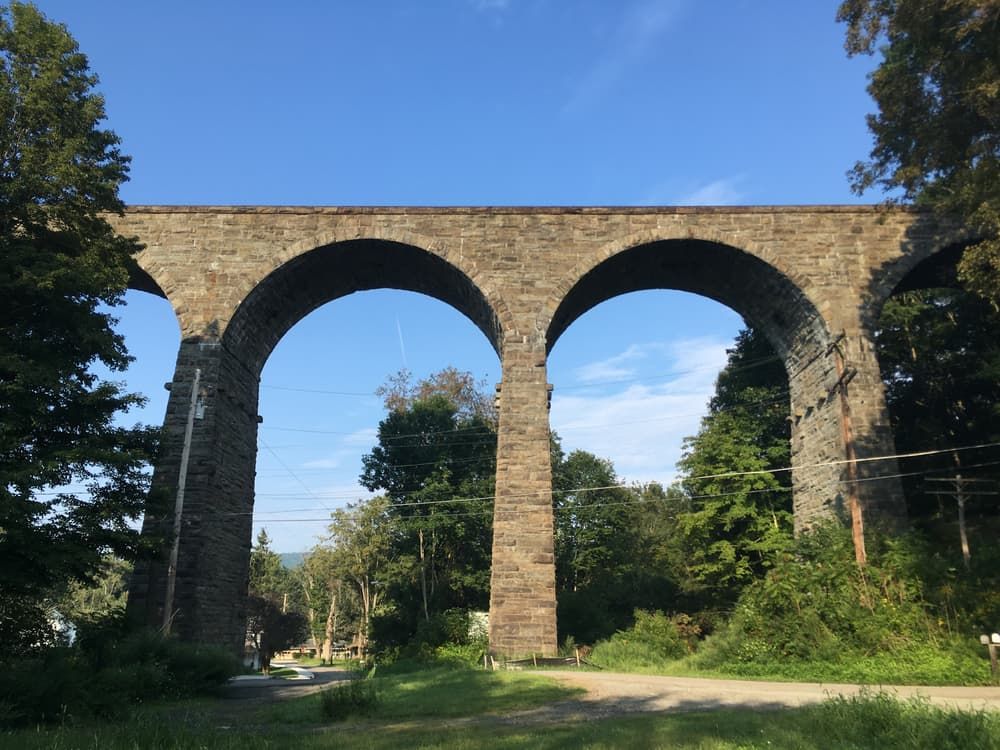
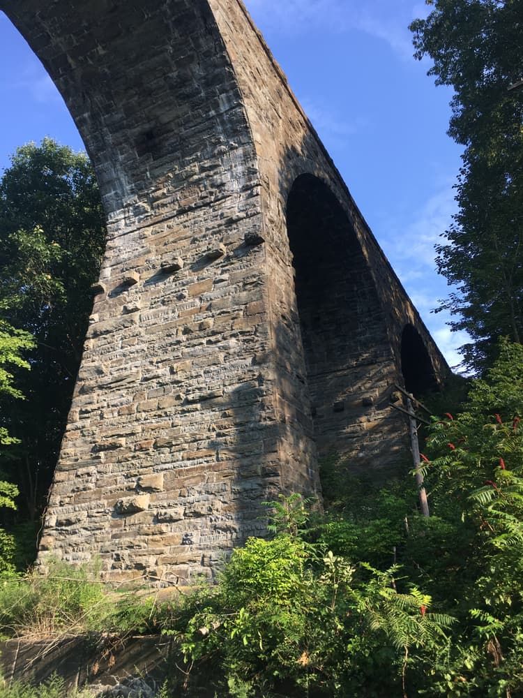
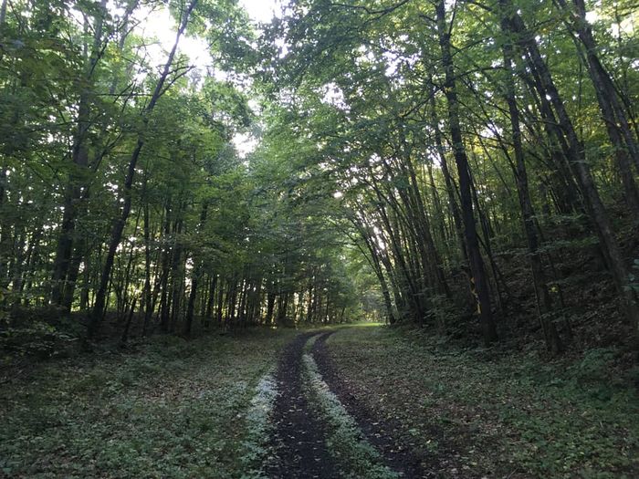
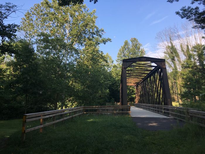
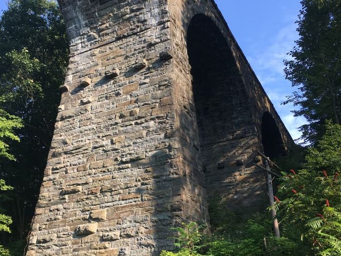
The D&H is not your typical rail trail, with sections of rugged and unimproved pathways that are perfectly suited for gravel and mountain biking. The D&H Trail offers users a well-maintained trail that makes for a smooth and accessible experience. In the south, the trail begins with the improved section, starting in the town of Simpson and heading north along the Lackawanna River. After passing through Forest City, you’ll get some clear views of the Stillwater Dam, where you may be lucky enough to spot a bald eagle. Next, it’s on to Uniondale, where you can stop in at Cable’s General Store for a quick snack. Further north, the trail reaches its highest elevation in the small town of Ararat. The rest of the trail presents a greater challenge, but there are still some excellent opportunities to explore. Navigate the switchbacks at Buck’s Falls, then travel to Steven's Point, where there is a large trailhead. From Steven's Poinnorth the trail is improved as it travels along the Starrucca Creek. Just to the North, you'll encounter what some consider to be the highlight of the D&H: the Starrucca Viaduct. The bridge’s 17 bluestone arches, reaching up to 100 feet in height and totaling more than 1,000 feet in length, compose the state’s oldest still-used railroad bridge. Past Lanesboro, it’s only a few short miles to the New York state border and the trail’s official end, but note that there is no trailhead after Lanesboro.
For lovers of history, there are 18 historical interpretive signs along the trail. The D&H Rail Trail occupies a special place in the economic development of Pennsylvania and the United States as a whole. It was along the Delaware and Hudson railway–the D&H’s namesake–that America’s very first locomotive made its trial run in 1829. The Stourbridge Lion, as the train was known, proved to skeptical Americans that the steam locomotive was a viable form of transportation. A replica sits on display in nearby Honesdale, which is only a short drive from the Simpson trailhead.
For those who aren’t looking to make an out-and-back trip, the D&H offers multiple opportunities to make a loop. From Simpson to Forest City, it parallels the O&W Trail, which runs along the opposite side of the Lackawanna River. Numerous crossings allow you to pass between the two, so you can leave Simpson (or Forest City) on one trail and come back on the other. Just be aware that the O&W is not as smooth or level as the southern D&H, so bicyclists will likely need a mountain bike if they’re looking to use both trails. Additionally, the D&H connects into the Lackawanna River Heritage Trail, which heads further south from Simpson. Feel free to extend your journey onto this other riverside trail.
Hours: The D&H Rail Trail remains open from dawn to dusk. Use during the nighttime is only possible with prior written approval.
Snowmobiles: The trail manager requires a trail pass and proof of insurance for all snowmobile riders. For more information on snowmobiling, visit the Northeast Pennsylvania Sno-Trails Website. This is the group responsible for maintaining the trail for snowmobile use.
Rail-Trail Council of NEPA manages the D&H Rail-Trail. They can be contacted at nepatrails@gmail.com. More information for users is available at https://www.neparailtrails.org/guide/trails/.
Simpson Trailhead: The D&H Simpson Trailhead is located on Morse Avenue in Simpson. It lies on the section North of the River and across from PA 171.
Forest City Trailhead: Located in the Southeast section of Forest City on Commerce Boulevard. Across from the Lackawanna River Basin Sewer Authority.
Herrick Center: Trailhead is positioned on PA Route 347 between Quigley Road and Barnes Road in Herrick Center, 0.75 miles West of Herrick Corner and Herrick Township Community Center.
Fiddle Lake Road: Trailhead is in Burnwood on Fiddle Lake Road between Burnwood Road and Cottrell Road, about 2 miles West of PA Route 171 via Fiddle Lake Road.
Ararat: Trailhead is at the intersection of Ararat Road, Town House Road, Burnwood Road, and Hobbs Road in Ararat, PA, about 2 miles West of PA Route 171 via Ararat Road.
Thompson: Trailhead is on Willow Avenue in Thompson. From South on PA Route 171, turn right on Erin Ave or Willow Ave in Thompson.
Starucca at Little Ireland Road: Trailhead is on Little Ireland Road in Starrucca. It is located about 3 miles East of PA Route 171 and Florence Shelly Preserve via Little Ireland Road.
Steven's Point: Trailhead and parking is located on Starrucca Creek Road, about 1/4 mile West of the Municipal Building and 1/4 East of the Starrucca Creek crossing.
Luciana Park at Lanesboro: Located about 1 mile North of Lanesboro via Main Street. Turn onto Depot Street from Main Street North and Luciana Park comes up on your right.
Cascade Valley Road: The last northern trailhead, this trailhead is located near the PA-NY State Line about 1/4 mile West of Devil's Punch Bowl via Cascade Valley Road.