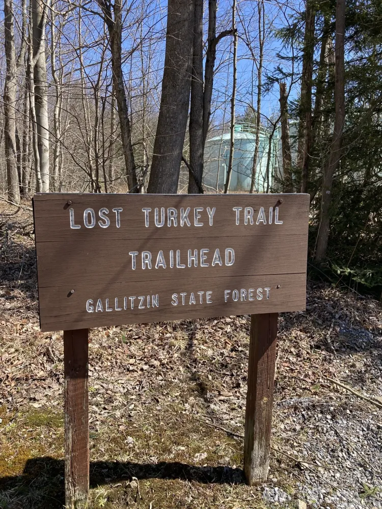
Welcome!
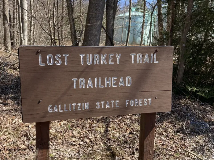
Contrary to its name, the Lost Turkey Trail has little to do with turkeys, and its distinctive red blazes should prevent hikers from getting lost. The misnomer–and the trail itself–come from members of the Youth Conservation Corps, who first laid out this footpath in 1976. Though much of the trail follows the path of old 1930s railroad beds, it still passes through an untamed wilderness that challenges any hikers who choose to attempt it. Don’t let the playful name fool you, and come ready to push yourself.
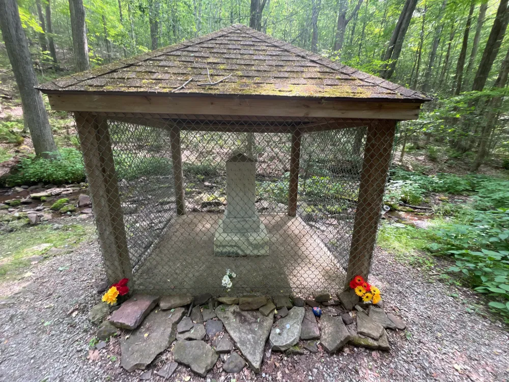
If you want to go in the trail’s traditional south-to-north direction, you’ll start your hike in the southwest across Route 56 from Babcock Picnic Area at the Babcock picnic area. You’ll find yourself immersed in Gallitzin State Forest as you head east, trekking across the relatively gentle terrain of Pot Ridge. You may begin to think that this hike is easier than you expected, but don’t worry: it only gets harder from here. The difficulty ramps up significantly as you drop into Little Break Hollow (mile 14) and begin to climb up Forks Ridge. You’ll look out over a stunning canyon as you make your way north; you’ll also cross a cable bridge over Bob’s Creek. Then, the final stretch of trail begins as you start the climb onto Hog Back Ridge. At mile 24, you’ll encounter a monument honoring the Cox children, two siblings who tragically disappeared in this forest in 1856. Finally, it’s on to Blue Knob State Park, where your journey comes to an end not far from Blue Knob Resort. You’ve reached the second highest mountain in the state of Pennsylvania! While you’re here, be sure to take advantage of the abundant skiing and biking opportunities at Blue Knob.
If you’d like to add some extra distance to your hike, the John P. Saylor Trail is very close to connecting to the Lost Turkey at the Babcock picnic area/Route 56. The JP Saylor Trail forms a 17-mile loop over flat, marshy terrain. But if you do plan on making an extended journey, be aware that the Lost Turkey only allows overnight camping in the State Forest section. Backpackers should plan ahead so that they know where to stop for overnight hikes.
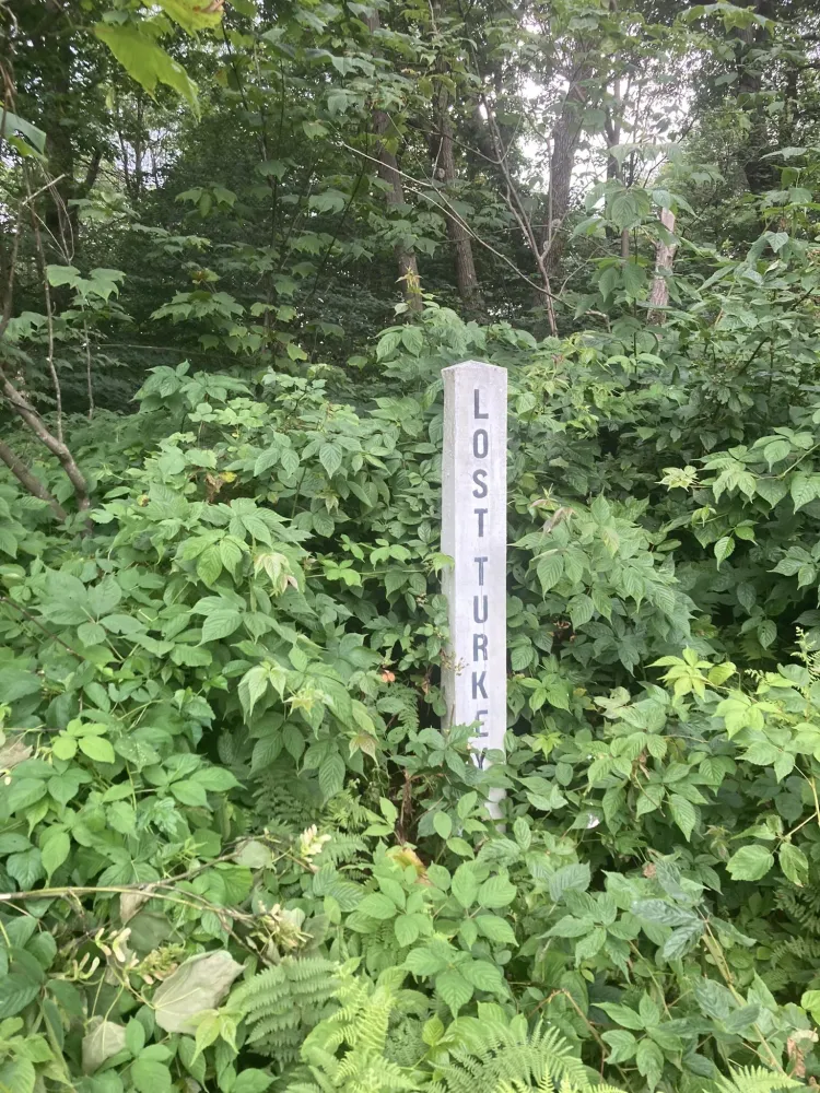
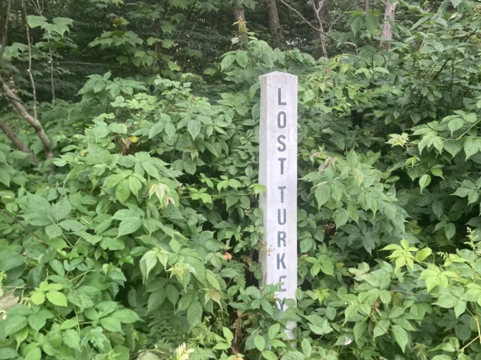
Blazes: The Lost Turkey Trail is marked with red blazes. Double blue blazes indicate small connector trails, while orange diamonds indicate snowmobile routes.
Camping: Overnight camping on the Lost Turkey Trail is only permitted on State Forest land. Backpackers should plan ahead so that they know where to stop for overnight hikes.
This trail is managed by the Pennsylvania Department of Conservation and Natural Resources (DCNR). For more information, visit the DCNR Website. Contact the DCNR at fd06@pa.gov.
Babcock picnic area trailhead: From Windber, take PA-56 East for 4.7 miles. Parking will be on the left.
Blue Knob State Park trailhead: From Roaring Spring, take PA-36 North for 2.5 miles. Turn left onto Freedom Street (which becomes PA-164 West) and continue for 7.9 miles. Turn left onto Knob Road (which becomes Blue Knob Road) and continue for 4.4 miles. Continue straight onto Ski Access Road for 0.6 mile. Turn left onto Tower Road and continue for 0.4 mile. The trailhead will be at the end of Tower Road.