Welcome!
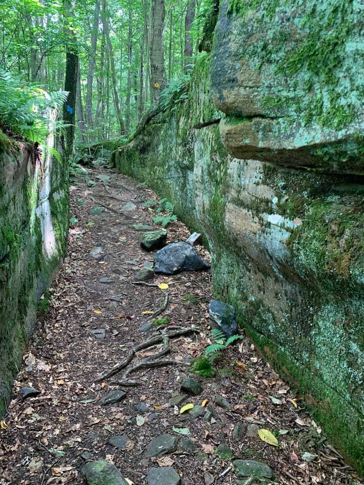
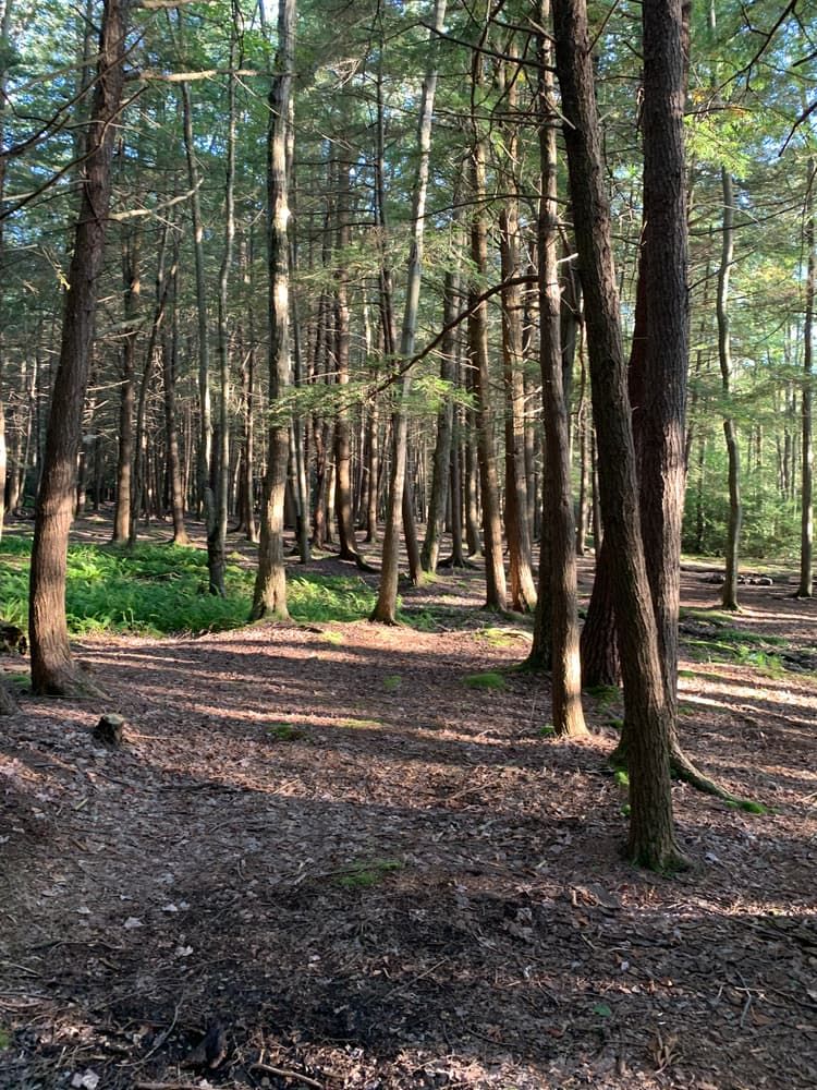
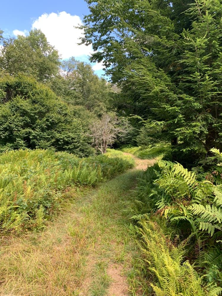
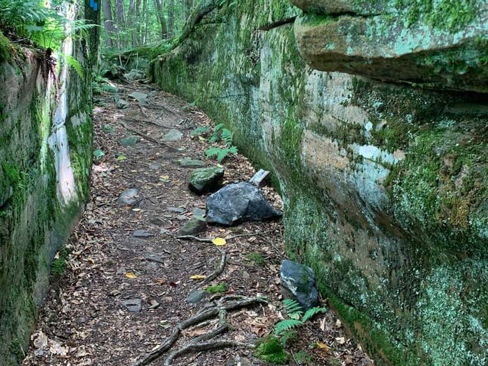
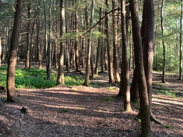
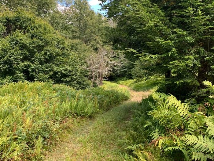
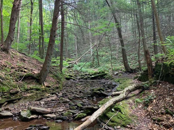
The Loyalsock Trail has been dubbed a “short long trail” for its 59.2 miles of length, which stretch east through Loyalsock State Forest in Lycoming and Sullivan Counties. But don’t let the “short” part of the monicker fool you; the Loyalsock (LT) is still a four to six-day hike, and it feels even longer because of its steep elevation changes and rough-and-tumble terrain. If follows the path of Loyalsock Creek, a route that takes the LT through the wild ridges of the Allegheny Front. A lush forest of northern hardwoods and hemlocks surrounds you as you struggle up and down the trail’s countless climbs. It’s all worth it, however, for the spectacular overlooks that await at the top of every climb.
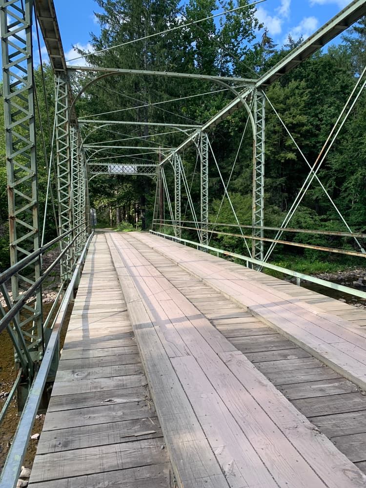
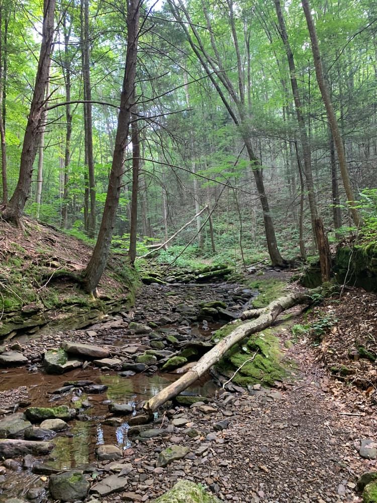
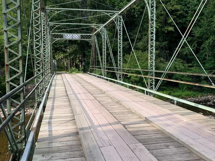
For a full thru-hike, adventurers typically begin at the western terminus, only a few miles from the borough of Montoursville. The trail immediately begins with a sharp climb, followed by a ridgetop stretch that contains the LT’s first vistas. A slick and technical downhill carries you into Pete’s Hollow, but another uphill soon follows. More overlooks, as well as some minor stream crossings, await on Smith’s Knob and Red Ridge. The trail loosely follows this pattern for most of its length: a steep ascent, then a flat section along a ridge, then a drop into some valley or hollow. In the midst of these frequent elevation changes, keep an eye out for many exquisite natural features; favorites include a brief side-trail to Angel Falls and the breathtaking Alpine View. Approaching its eastern terminus, the LT passes through Worlds End State Park, so named for its remarkable vistas of the Endless Mountains. From here, geologic features abound on the final segment of trail, which actually follows the former path of the Williamsport and North Branch Railroad. Check out the “rock stair” boulders, High Rock Vista, the Class IV rapids at the Haystacks sandstone formation, and the gushing Alpine Falls. Fans of the LT may debate which section is best, but this final stretch is certainly a top contender. The trail comes to an end along U.S. Route 220, not far from Laporte.
If you aren’t willing to sacrifice the better part of a week, the LT also offers plenty of opportunities for shorter hikes. One of the most popular is the Loyalsock/Link Loop, which utilizes a detouring side trail in Worlds End State Park to form a 17-mile oval. This route contains few steep climbs or technical challenges, and it passes by popular features like Sones Pond, making for a brief but pleasant backpacking adventure.
The Loyalsock Trail takes its name from Loyalsock Creek, which in turn traces its etymology to a Native American phrase meaning “middle creek.” Sandwiched between Lycoming Creek to the west and Muncy Creek to the east, the area around the Loyalsock certainly fits this description. The region was once a hotbed for Native American activity in the pre-colonial era, and an ancient highway called the Towanda Path passed along the creek side; the LT utilizes a part of this storied footpath. Other segments of the modern-day trail owe their existence to the former logging roads and railroad grades of the 1800s lumber boom, while still others date back to the work of the Civilian Conservation Corps in the 1930s. The LT itself was established in the 1951, and the Alpine Club of Williamsport formed a couple years later to preserve the trail for future generations. That mission has proved to be a success, and the Loyalsock Trail remains the same wild adventure that it was more than seventy years ago.
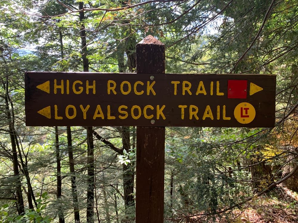
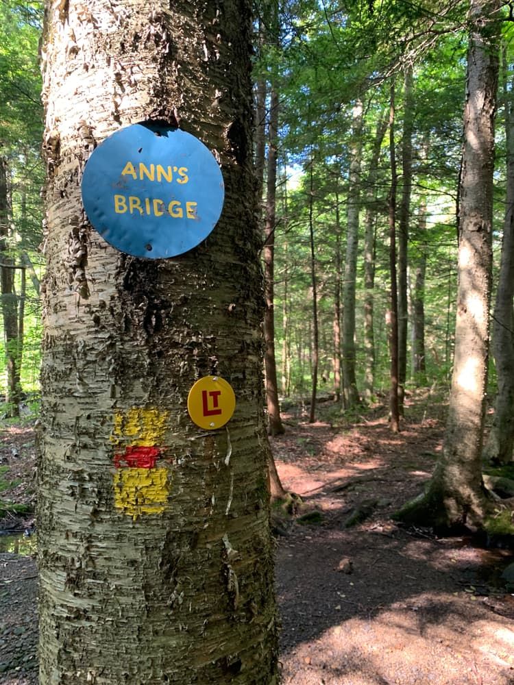
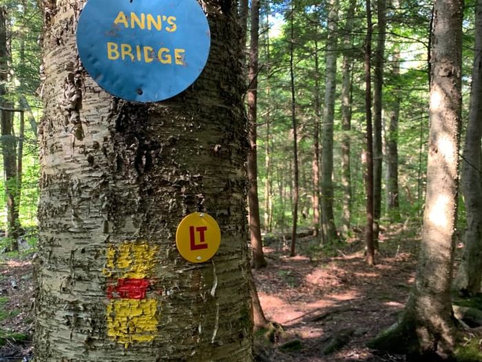
Blazes: The Loyalsock Trail is currently marked by yellow discs with a red “LT” in the center. It was formerly blazed by yellow squares with a red horizontal stripe, so you may see some of these markings as well. Red Xs indicate longer side trails, while blue metal circles mark shorter connector trails. White blazes mean a side trail is unmaintained.
Caution: Stinging nettles and briars tend to grow along the trail. Stay aware of your surroundings to avoid stepping in these unpleasant plants.
The Loyalsock State Forest manages the Loyalsock Trail. The Alpine Club of Williamsport maintains the trail, and it sits on land mostly belonging to the Pennsylvania Department of Conservation and Natural Resources (DCNR). There is a 6.3 mile stretch of the trail on private land between Allegheny Ridge and Ogdonia Creek. For more information, visit the Alpine Club Website.
PA-87 (western terminus): From Montoursville, take Loyalsock Avenue north to pass under the I-180 bridge. After passing under the bridge, continue on PA-87 for 8.7 miles. Parking and the trailhead will be on the right.
Brunnerdale Road: From US-220 (in Sullivan County), turn northwest onto PA-42 North and continue for 2.5 miles. Take a slight left onto Brunnerdale Road and continue for 4.4 miles. Parking will be on the shoulder of the road.
High Knob Road: From US-220 (in Sullivan County), turn northwest onto PA-154 West and continue for 7 miles. Turn left onto Worlds End Road and continue for 2.8 miles. Turn right onto High Knob Road and continue for 2.3 miles. Turn right at the sign for High Knob Overlook and continue for another 2.3 miles. Parking will be on the right, at the High Knob Overlook.
Worlds End State Park: From US-220 (in Sullivan County), turn northwest onto PA-154 West and continue for 6.4 miles. Turn left onto Mineral Spring Road and continue for 1.4 miles. Turn left onto Coal Run Road and continue for 0.7 mile. The trailhead will be on the left, at the Loyalsock Canyon Vista.
US-220 (eastern terminus): From Towanda, take Main Street south until it ends. Merge onto US-220 South and continue for 23.5 miles. Turn right at the sign for the Loyalsock Trail and proceed to the trailhead.