Welcome!
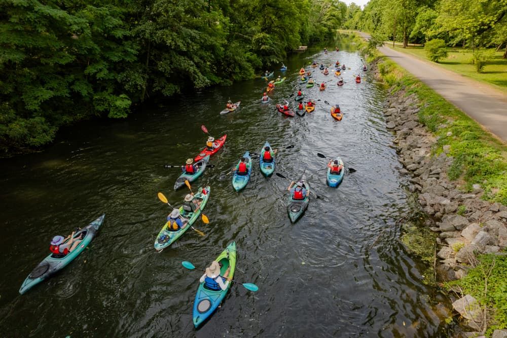
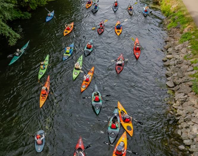
The Schuylkill River Water Trail begins at its headwaters near the coal town of Tuscarora, PA and slows southeasterly for 137 miles. The Schuylkill River watershed is the most densely populated region in Pennsylvania, and nearly 25% of the U.S. population lives within 5 hours driving distance of the river.
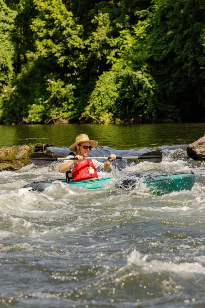
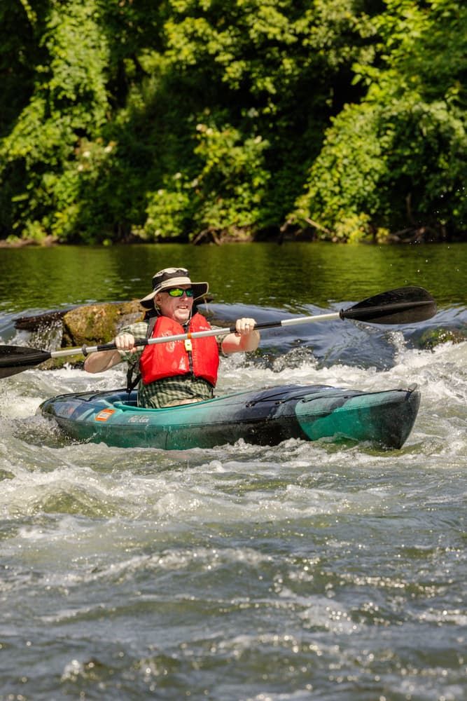
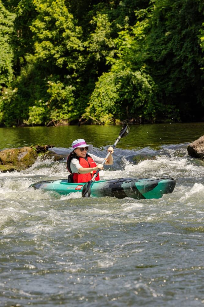
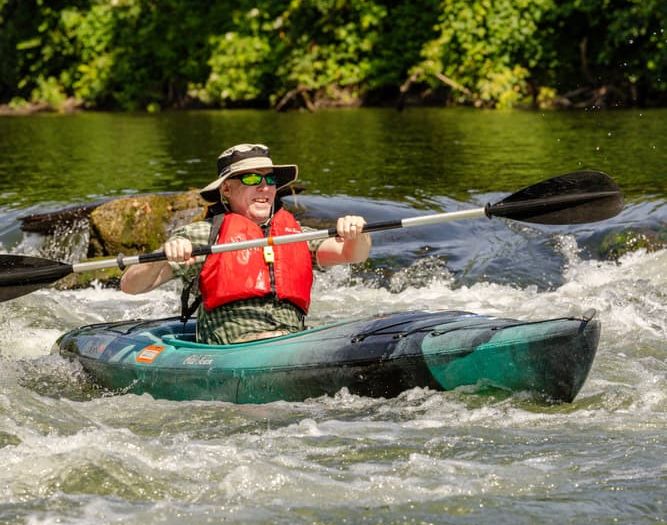
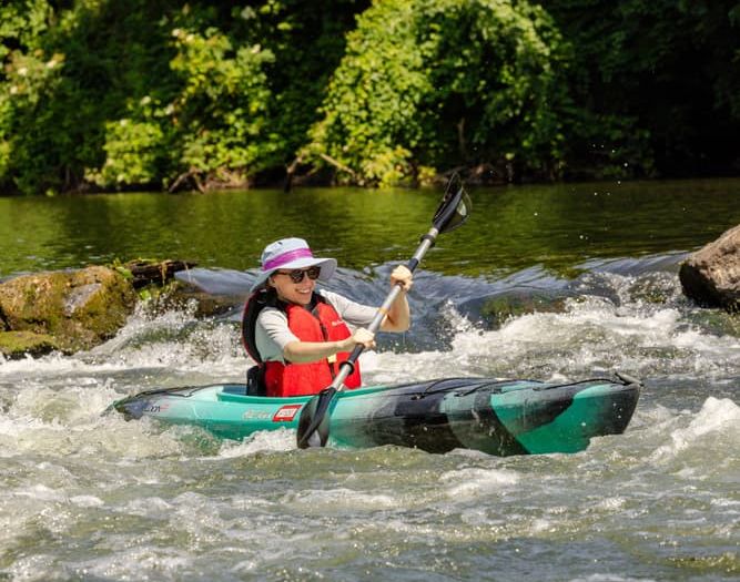
The Schuylkill River is considered a Class I-II+ river. This denotes that the river contains a few riffles and small waves in most places, and easy rapids with small waves and clear channels that are apparent without scouting in others. Overall, the Schuylkill River Trail is a manageable paddle in just about any location.
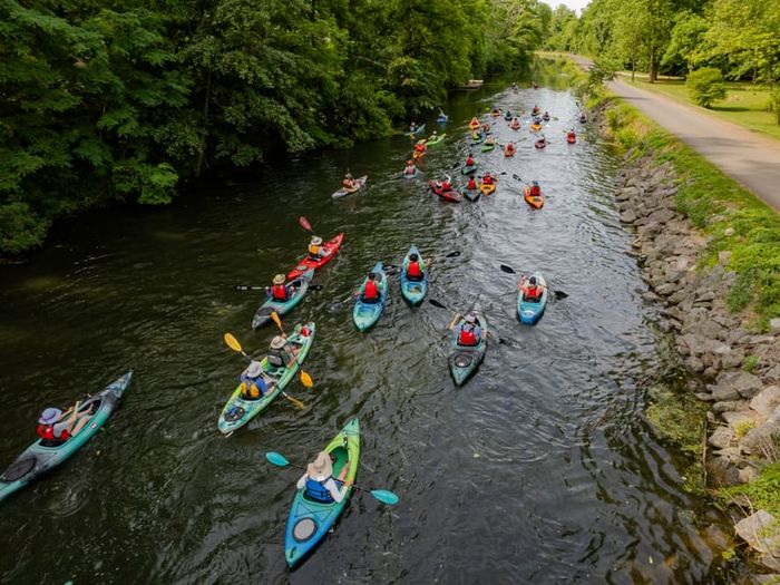
Although a paddling destination, it should be noted that Schuylkill Water Trail paddlers will share the water trail with motorists, skiers, and other rowers in many sections.
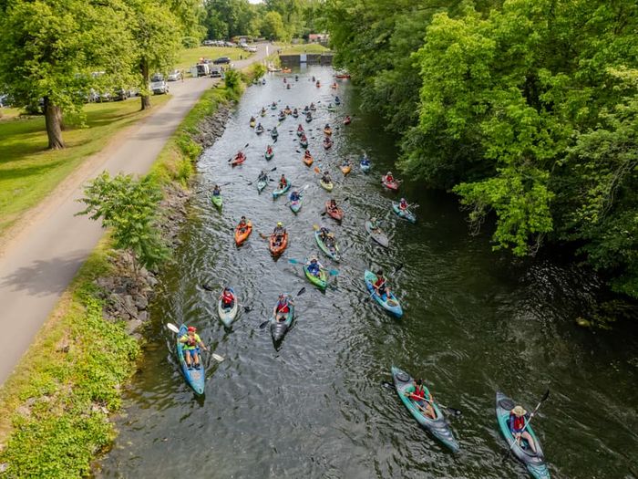
The best time to paddle the Schuylkill River Water Trail is in early summer. The normal flow of the Schuylkill River allows for small, shallow-draft powered and non-powered boats. Motorized crafts are passable in deeper sections, including above Flat Rock and Black Rock Dams, Norristown, and Port Indian.
Due to the nature of rivers and paddling, it is important before embarking on a paddling excursion to guage how long one's trip will take. For reference, typically 4 river miles takes a little over an hour to complete.
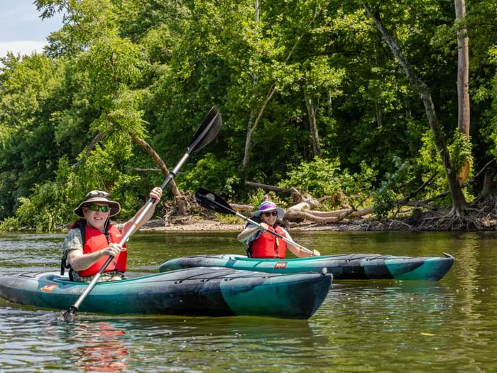
One of the most significant raptor migration routes in North America crosses the Schuylkill River at Port Clinton. Because the birds don't remain just on the ridge top as they move through, paddlers can see these impressive creatures in the valleys and riparian corridors. During the paddling season, paddlers can see osprey, great blue heron, little green heron, merganser, wood duck, belted kingfisher, warbler, black bear, beaver, mink, and rattlesnakes are all animals that frequent the river and surrounding riparian and ridge areas.
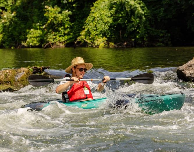
Paddling Safety Tips
Pennsylvania Boating Regulations
The Schuylkill River Greenway National Heritage Area manages the Schuylkill River Water Trail. They can be contacted at 484-945-0200.
For more information, please visit schuylkillriver.org.
Pottstown Riverfront Park (River Left) Parking for 25+ cars at Schuylkill River Center of Pottstown.
Hanover Street Boat Ramp (River Right): Parking and boat ramp available.
Towpath Park Boat Ramp (River Right): Parking and camping available with permission from East Coventry Township (610) 495-5443. Picnic shelter and toilets available at western end of park.
Linfield Fireman's Park (River Left): Parking available in upper lot. Picnic shelter and seasonal toilets available.
Spring City (River Right): Small parking lot with with launch ramp available.
Phoenixville PFBC Access (River Right): Parking available for 25+ cars. Toilets available.
Upper Schuylkill Valley Park (River Left): Parking available for 10+ cars. Picnic area with grills and toilets available.
Mont Clare (River Left): Canoes only. Parking and toilets available. Hiking trails on both sides of the river.
Betzwood Power & Non-Power Boat Ramp (River Left): Parking is available for 100+ cars. Boat ramp, picnic area, toilets, water fountains available.
Boat Ramp at Norristown Riverfront Park (River Left): Powered and unpowered boats. Parking, boat ramp, and picnic areas available.
Flat Rock Park (River Right): Parking available for 25+ cars. Boat ramp, picnic area, and toilet facilities available.
East Park Canoe House (River Left): Parking for 75+ cars and toilet facilities available.
Kelly Drive/Fairmount Park (River Left): Parking available for 15+ cars.